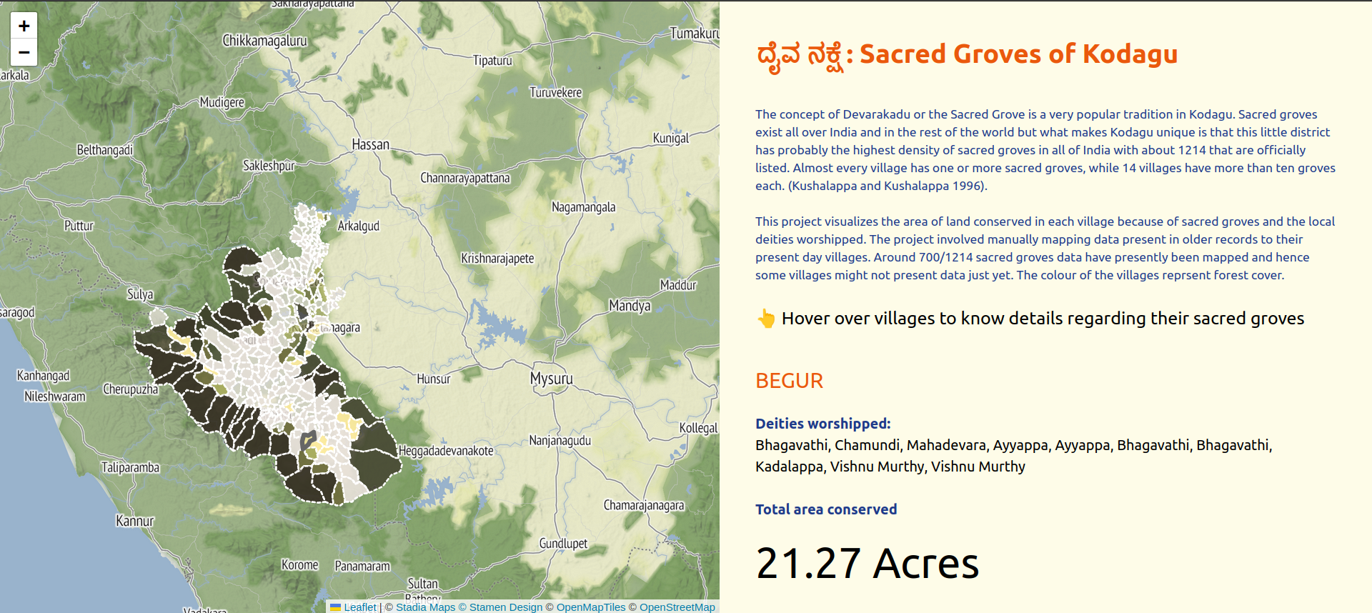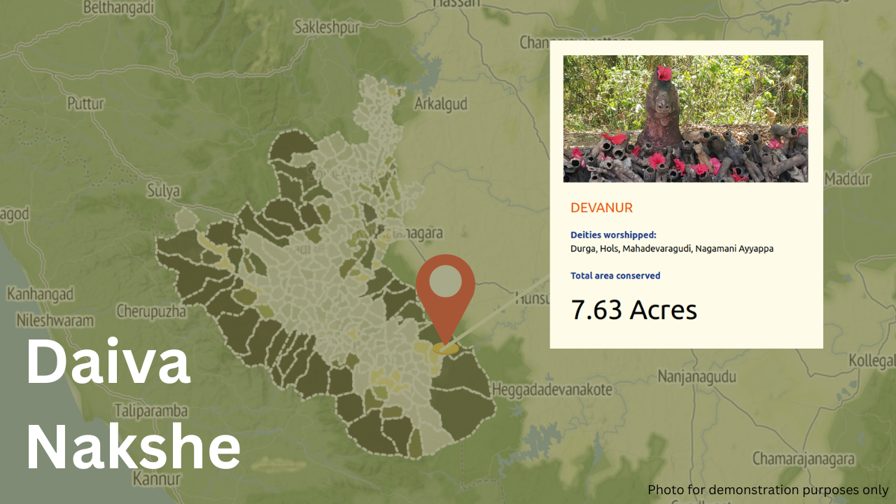
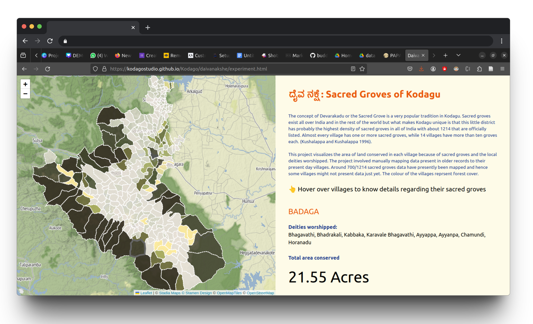
Geo tagging and visualizing sacred groves of Kodagu. View project at:
https://kodagostudio.github.io/Kodago/daivanakshe/experiment.html
Introduction
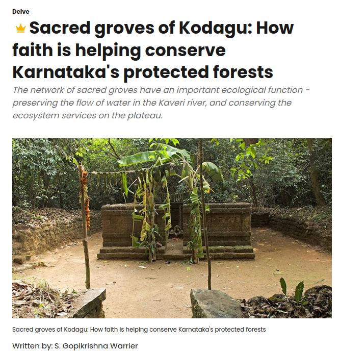
Sacred groves or sacred woods are groves of trees that have special religious importance within a particular culture. Sacred groves feature in various cultures throughout the world. This project attempts to document sacred groves in different villages of Kodagu and visualize the amount of area conserved in each village as a result of it. The concept of Devarakadu or the Sacred Grove is a very popular tradition in Kodagu. Sacred groves exist all over India and in the rest of the world but what makes Kodagu unique is that this little district has probably the highest density of sacred groves in all of India with about 1214 that are officially listed. Almost every village has one or more sacred groves, while 14 villages have more than ten groves each. (Kushalappa and Kushalappa 1996).
Process
Understanding sacred groves and their importance:
The project began by research around sacred groves. The topic was introduced initially by Savinaya MS, a researcher who did his Phd around sacred groves in the western ghats.
Field visits to sacred groves in Coorg
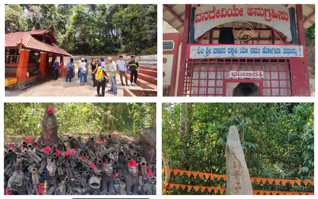
Visits were conducted to three sacred groves in Kodagu to understand the cultural importance of these places to the locals and the families there. Visiting One of the sacred groves we visited has a monolith dedicated to the deity Ayappa which is said to date back to 10000 BC.
Sourcing data
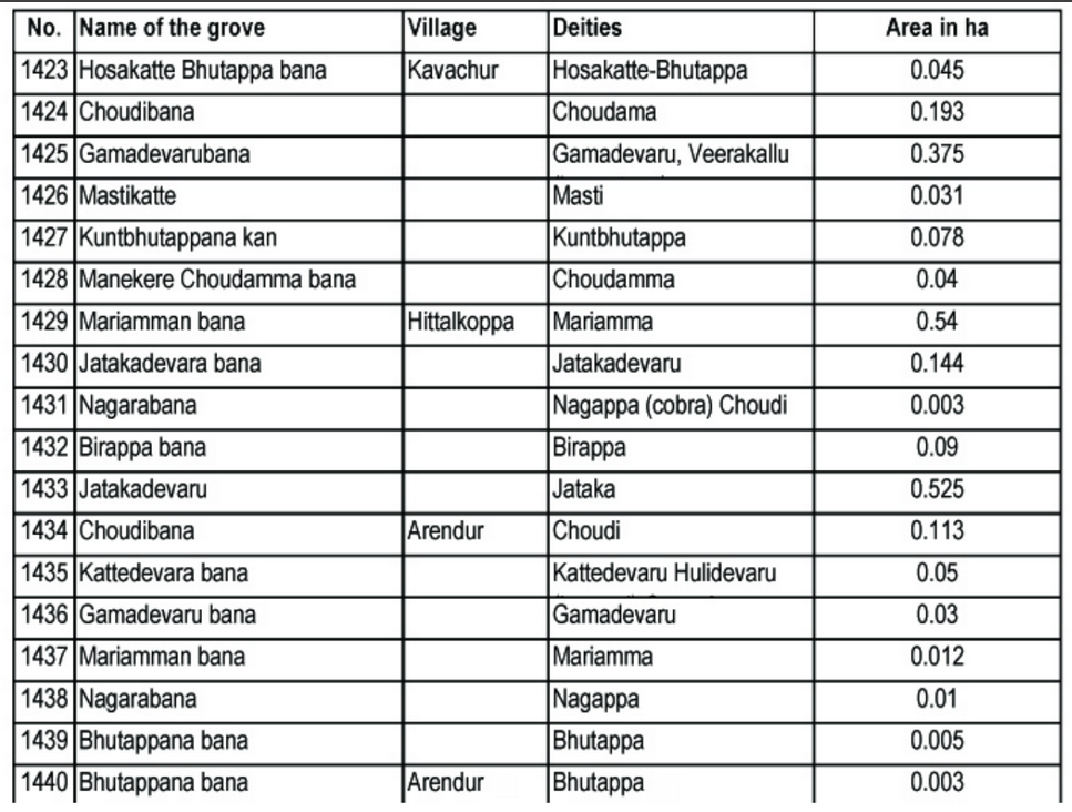
The data set of sacred groves were taken from the CPREEC website. Environmental Education Centre (CPREEC) is a Centre of Excellence in Environmental Education established by the Ministry of Environment, Forests and Climate Change (MoEF&CC), Government of India, and CPR Foundation, Chennai, in 1989. The data was provided to them by Dr. C.G. Kushalappa
Grouping and geo tagging data
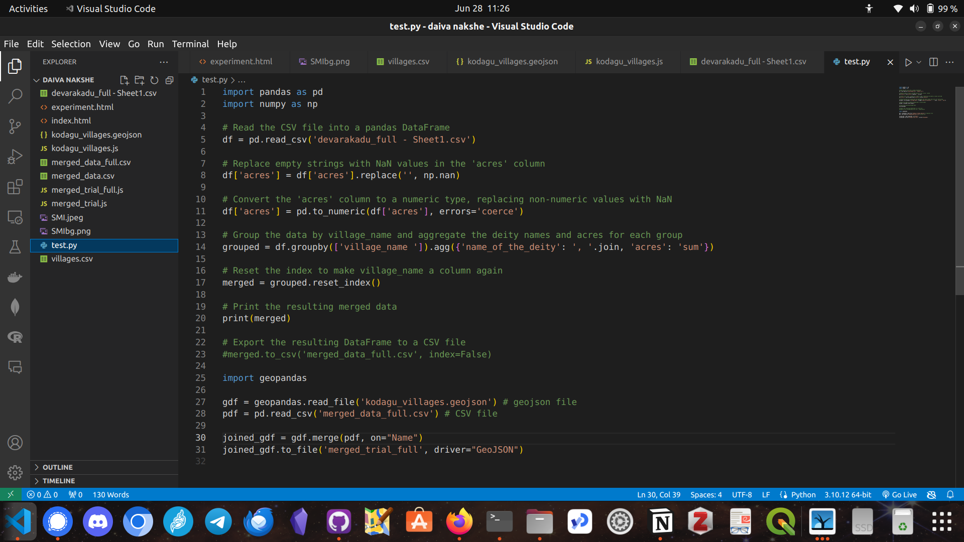
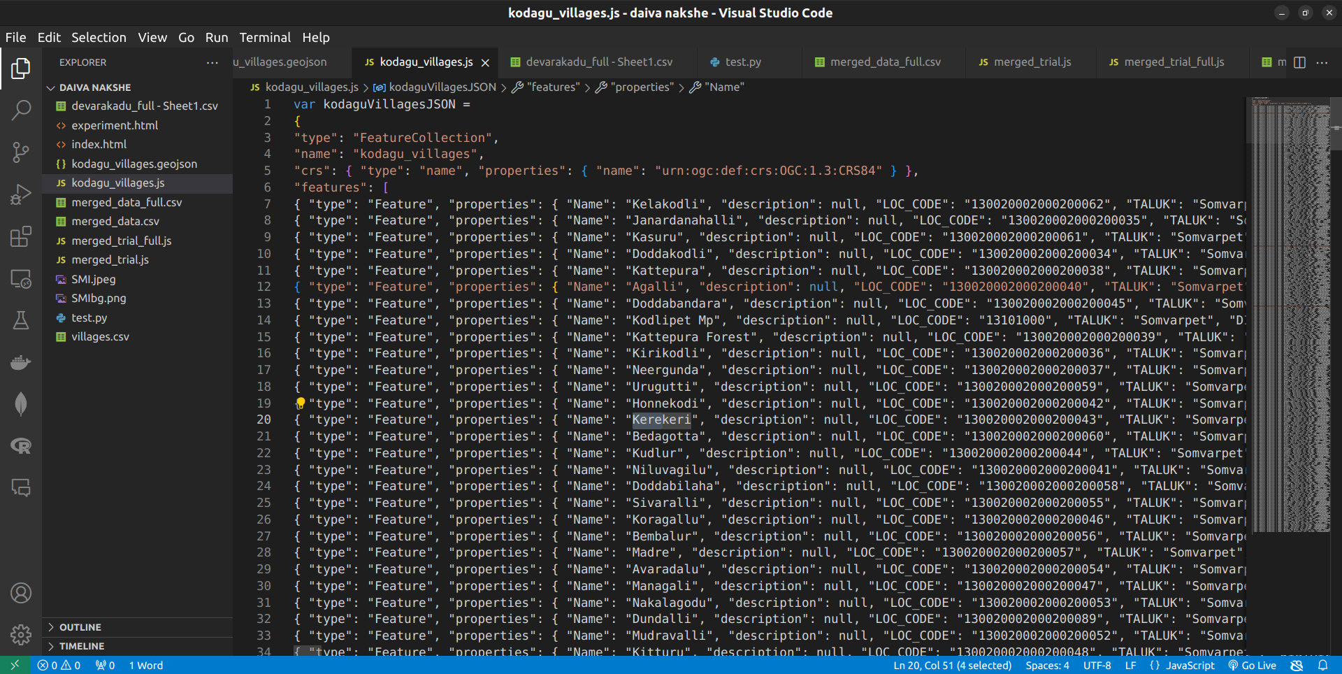
Since the data was documented a few decades ago, there was a need to manually group data according to present day villages and geo tag them with their locations. An updated dataset was created with their present day villages. The data for villages and their boundaries was taken from the Karnataka GIS portal and merged in Python.
Building the interface to visualize
An interactive website and an interface was built to visualize the number of deities worshiped in each village along with the area conserved as a result of it.