Documenting urbanization and land use in Gantiganahalli through participatory mapping and GIS Analysis
Pixelation of village level data
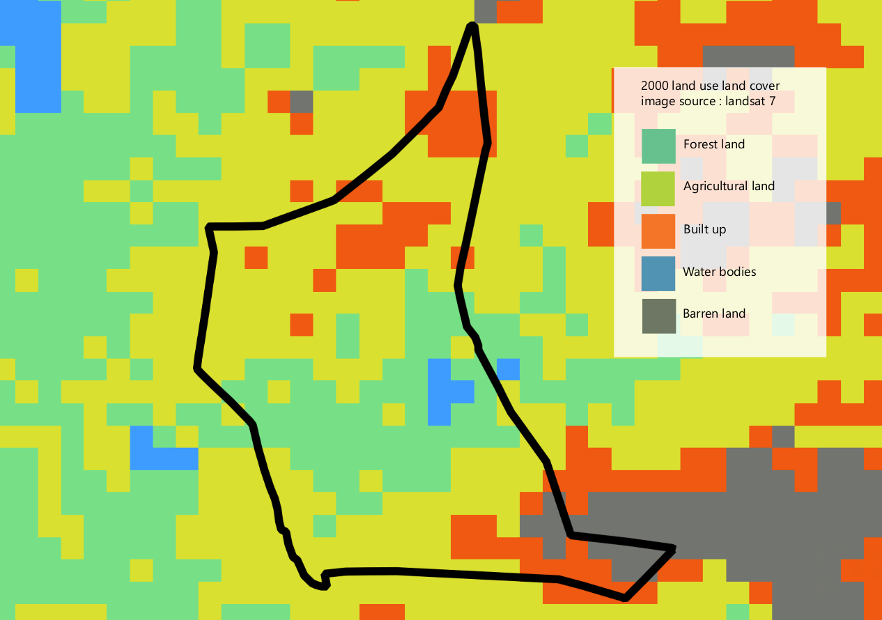
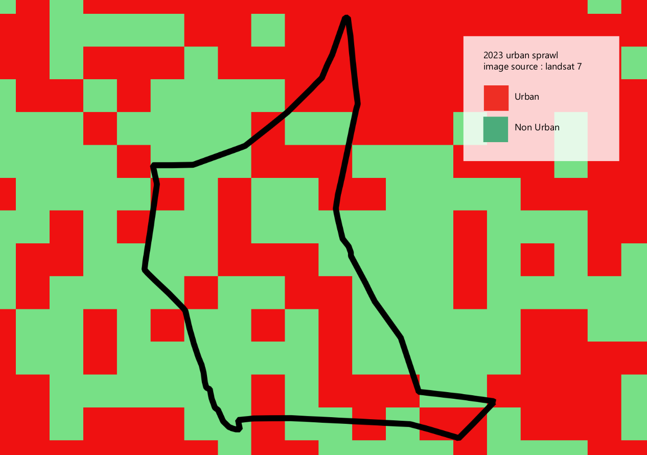
The project looks at Gantiganahalli as an example village to understand the transition of urbanization and land use in peri urban areas of Bengaluru, Karnataka, India. Available sources to data often under-represent or misrepresent peri urban areas. It was observed that popular open source data platforms like Openstreetmaps had very little to no data available on Gantiganahalli. Various sources of satellite imagery were used to understand urban sprawl and land use in the village, but given the scale of these images, it was observed that the data often gets pixelated and proves to be less informative and generalized. The entirety of a village gets reduced to some pixels.
Mapping a village ground up
OSM ID mapping using satellite imagery
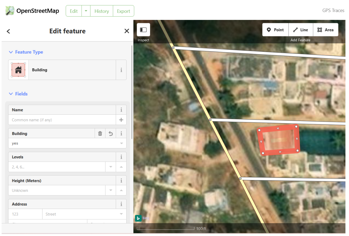
This was the method that was majorly used. OSM ID is a browser based openstreetmaps editor for contributing data to OSM. It is an interface that provides a base layer with satellite imagery, on top of which, polygons and lines can be drawn. For example a road is a line which is traced and then tagged with features like road name, crosss, main, is it one way or two way etc. A polygon which is drawn can be marked as abuilding, an area, landuse with their respective features.
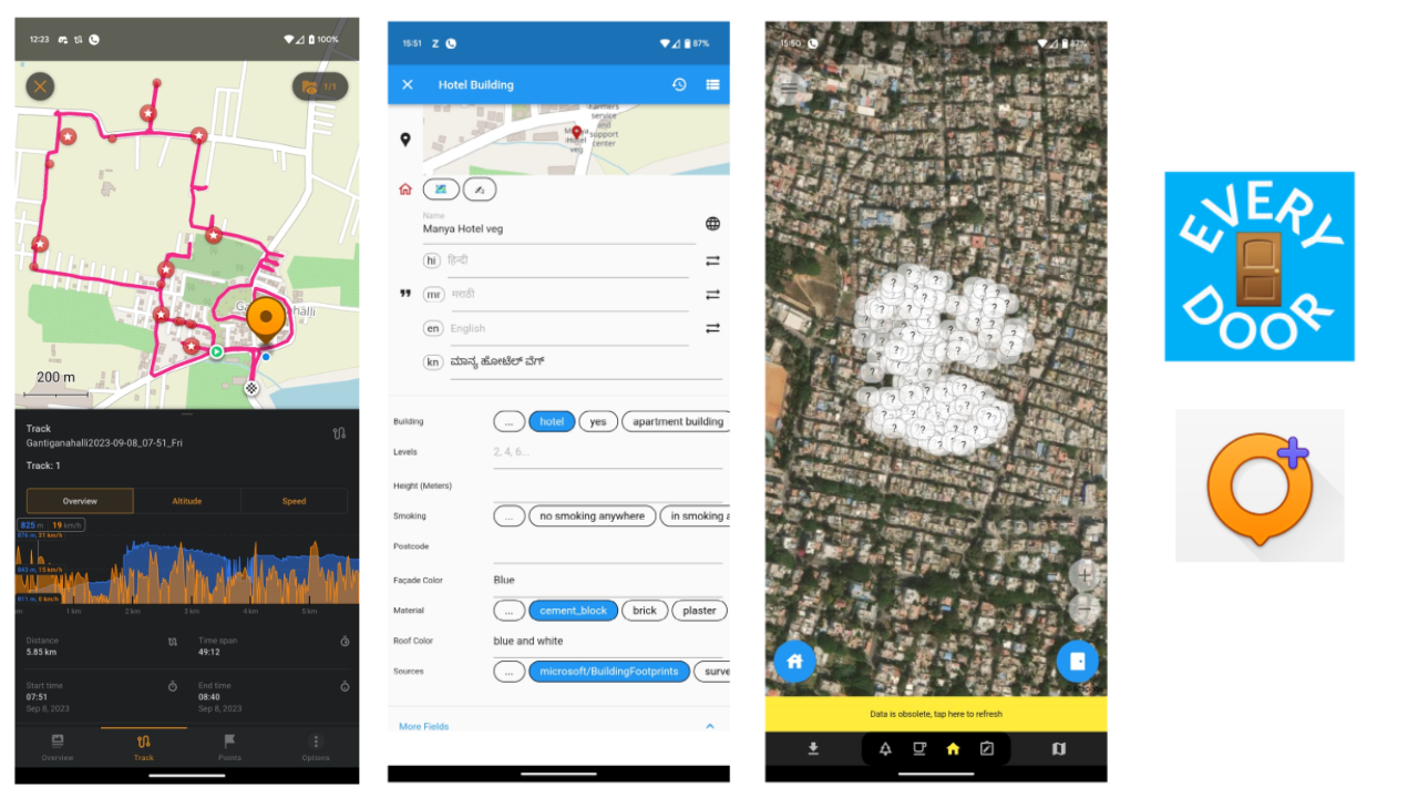
On field mapping using Everydoor app
The primary motive of this on field mapping was to understand places and points of interest. Another important motive of this mapping methodology was to understand the built structures and the urbanization in the area. This involved studying buildings, their structures and understand the urban influence.
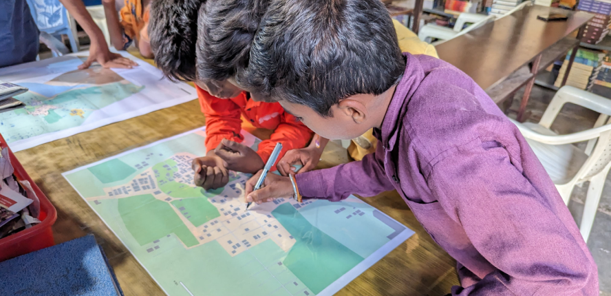
Participatory Mapping at the Gram Panachayat library
Mapping on a physical map
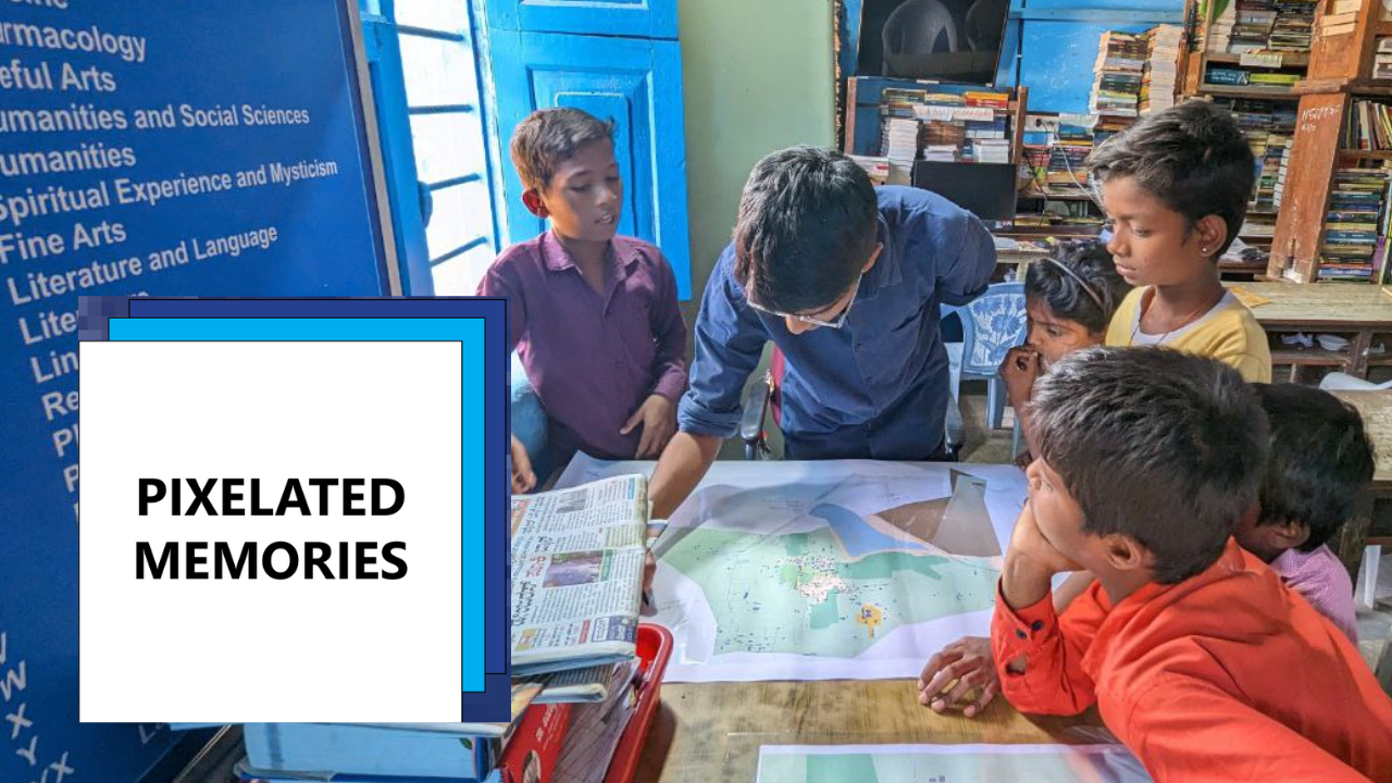
The participants of the workshop mapped places in the village. The whole workshop was informal and very spontaneous. I did not have a pre set deliverable or an outcome that I specifically wanted from the workshop. I began by asking the kids to point out and mark places that they knew. This could be any place they like, a playground, a shop, their house etc.
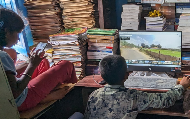
Mapping with Street view
A session was conducted where the children were oriented to Google street view and were given an online tour of the entire village. The idea of street view was new to most of them which gave rise to interesting questions like “Why are the smaller roads not mapped?”,“Can they see inside my house also?”, “Can I see Mysore and America on this?”. While these questions seem merely curiousat first glance, they led to interesting discussions around privacy and surveillance
Mapping with the Panchayath development office
The second session that was conducted was done with the Panchayat development officer, Poonacha. In this case, the map acted as a supporting artifact for any explanations or illustrations done by him. The basic questions asked were around the growing urban trends in the village, some historical places, waste and sewage management systems, development and renovation of the lake etc.
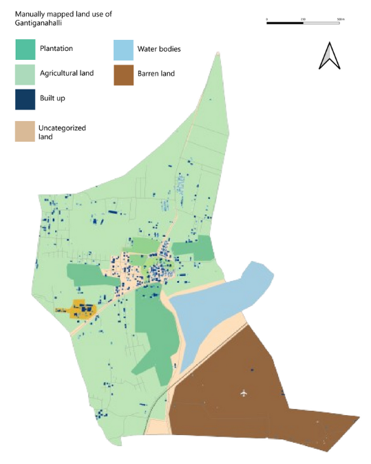
Updated map of Gantiganahalli after all mapping sessions
Pixelated Memories: People and places in pixels
The entirety of a village gets reduced to some pixels. If the whole story of a village is toldby some pixels, what remains, what transforms and what is lost in this fight to fit into squares
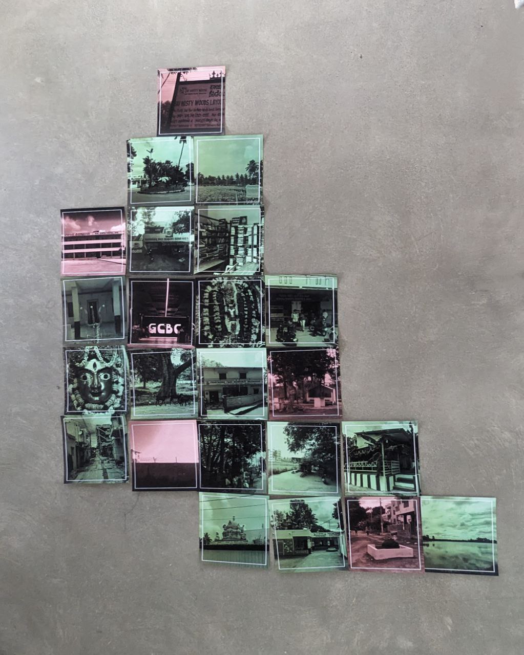
The project culminates in an interactive installation to reimagine data limitations and bridge the gap between quantitative data and qualitative human experiences. Collaborative activities were conducted with the village children, aimed at identifying significant places within their village. The installation comprises 23 pixels Pixels that serve as miniature galleries, capturing the essence and importance of the location
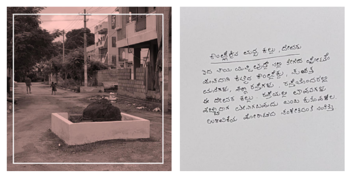
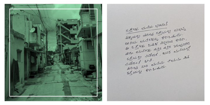
The back of the pixel contain hand wrtitten reflections of each image in Kannada
Green pixels in the installation depict places and entities local to a rural setting and specific to the context of Gantiganahalli.
The red pixel shows the influence of urbanization and how it finds its way into the map.